Creating Static SVGs from GeoJSON
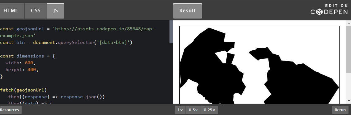
Recently I’ve been working with map data to create interactive visualisations. When working with maps it’s common to receive data as GeoJSON, a JSON format for encoding geographic features, which specifies the type of geometry and co-ordinates for the features we want to display on a map. Javascript mapping libraries such as Mapbox GL are designed to consume … Read more